Table of Contents
- A Shocking Look at LA’s Gang Territories Through Maps
- Why the Los Angeles Gang Map Matters?
- Areas Most Affected by Gang Presence in Los Angeles
- Platforms That Publish and Update LA Gang Maps
- Recognizing Territory Markers on the Ground
- Safety and Awareness in High-Risk Areas
- The Future of Gang Mapping and Public Safety
- Conclusion
A Shocking Look at LA’s Gang Territories Through Maps
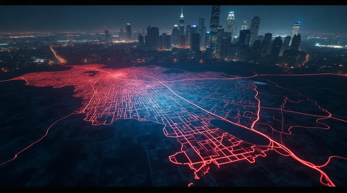
1. The Rise of Digital Gang Mapping in Los Angeles
In recent years, digital tools have made it easier than ever to understand how gang territories are laid out across Los Angeles. Today’s Los Angeles Gang Map is not just a law enforcement resource; it’s a public safety tool used by locals, city officials, and even researchers. Mapping software like ArcGIS and Google My Maps allows users to view interactive gang territories that were once invisible to the public eye. These platforms help visualize street-by-street boundaries and have helped many residents make informed decisions about movement and safety in their neighborhoods.
2. The 2025 Landscape of Gangs and Their Claimed Zones
As we move into 2025, gang territories in LA continue to shift due to arrests, community interventions, and internal gang rivalries. However, core neighborhoods like Watts, Inglewood, and South Central still show heavy gang presence. These maps reveal updated claims, highlighting areas where residents may experience tension, graffiti tags, or even increased patrols. The evolving landscape reminds us that gang culture, while often hidden, still influences how LA’s communities live, move, and interact.
Why the Los Angeles Gang Map Matters?
1. Understanding Gang Territories in LA
In major cities like Los Angeles, gang territories often act as informal boundaries within neighborhoods. These areas aren’t marked by signs or fences, but by local reputation, behavior patterns, and unwritten social rules. For many residents, these invisible lines determine which areas feel secure and which ones carry potential risk. The influence of these zones goes beyond gang members—families, students, commuters, and local business owners are all affected. Some businesses even adjust their operations based on these territorial dynamics, highlighting how deeply these boundaries shape daily life in certain parts of the city.
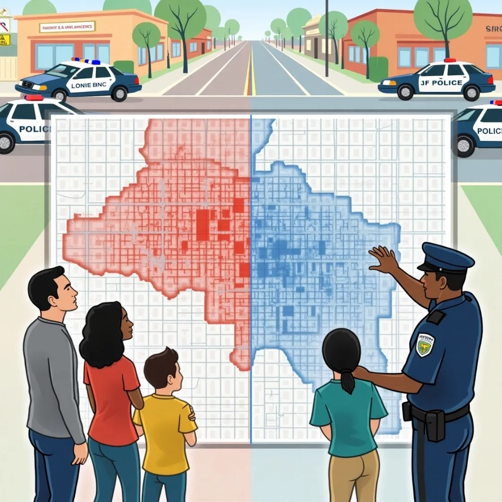
2. The Role of Maps in Community Awareness
Maps offer clarity. The Los Angeles Gang Map serves as a bridge between law enforcement and the public. It allows residents to understand which areas may require caution, especially for newcomers or tourists unfamiliar with local dynamics. Law enforcement uses these maps to track gang-related incidents, focus patrols, and monitor changes in gang movement. Meanwhile, families use them to choose safer schools, avoid problematic streets, and build neighborhood watch programs.
Areas Most Affected by Gang Presence in Los Angeles
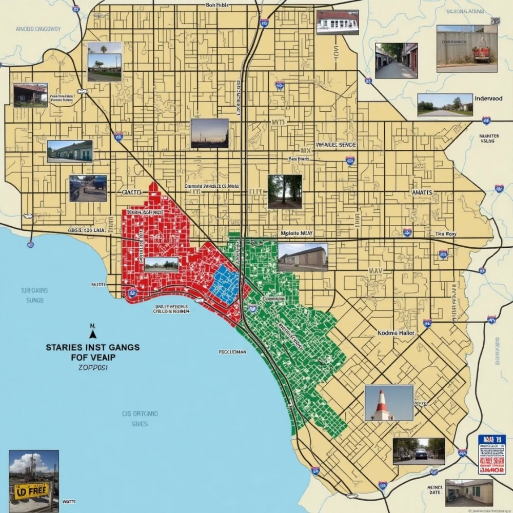
1. Neighborhoods With the Most Defined Turf Lines
Several LA neighborhoods have long-standing reputations due to gang activity. These areas are often shown on gang maps due to historical violence, territorial disputes, and public safety alerts.
- South Central LA: Known for strong Crip and Blood affiliations
- Watts: Home to the Grape Street Crips and other prominent sets
- Boyle Heights: Often associated with Sureño gangs
- Inglewood: Marked by Hoover gangs and Blood affiliates
These communities reflect how deeply gang identity is embedded into local culture, and they are commonly represented on most LA gang maps.
2. How Streets, Tracks, and Freeways Define Gang Zones
Gang territories don’t align with official city boundaries. Instead, they are often divided by major landmarks such as freeways, train tracks, alleys, and public parks. For example, the 110 Freeway and the Blue Line rail system have long served as dividing lines between rival gangs. These natural and human-made structures silently shape the geography of gang influence, acting as informal borders that carry serious meaning in many communities.
Platforms That Publish and Update LA Gang Maps
1. ArcGIS, Google My Maps, and City Attorney Resources
Several platforms offer publicly available gang maps, helping users identify risk zones.
|
Platform |
Key Features |
Source Type |
|
ArcGIS |
Interactive gang overlays by neighborhood |
Academic/Official |
|
Google My Maps |
Community-driven sets by region (e.g., Bloods, Crips, Sureños) |
Crowdsourced |
|
City Attorney’s PDFs |
Official gang injunction maps |
Legal/Government |
These tools are used not just by officials, but also by concerned citizens, journalists, and educators.
2. How Accurate Are These Maps in 2025?
Accuracy depends on how frequently these maps are updated and who maintains them. While official sources offer structured and verified data, community-driven maps may be outdated or biased. However, when used together, these platforms offer a near-complete view of gang territories in Los Angeles today.
Recognizing Territory Markers on the Ground
1. Signs You’ve Entered a Gang-Controlled Zone
While digital maps are helpful, street signs are often more immediate. Here are some common markers of gang territory:
- Graffiti with gang names or symbols
- Tagged street signs or walls
- Certain color-coded clothing
- Unusual gathering patterns in parks or corners
Understanding these signs is essential for both safety and awareness, especially in areas with turf conflicts.
2. How Locals Navigate These Zones Daily
Many residents live in gang territories without direct involvement. Over time, locals learn the “dos and don’ts” of their neighborhood:
- Avoid wearing certain colors
- Stay alert near tagged buildings
- Use specific walking routes
- Know which blocks to avoid after dark
This awareness becomes second nature and is often passed on through families and community members.
Safety and Awareness in High-Risk Areas

1. Tips for Residents, Tourists, and Students
If you’re new to Los Angeles or exploring unfamiliar areas, basic awareness can help you avoid unnecessary risks:
- Travel during daylight hours
- Avoid loitering in isolated alleyways
- Dress in neutral colors
- Avoid taking photos of graffiti or groups
- Use GPS and research your route ahead of time
2. How to Use Gang Maps for Personal Safety?
Gang maps aren’t just academic tools; they’re safety guides. Before visiting a new neighborhood, check its status on a Los Angeles Gang Map. If it shows known affiliations or past incidents, stay cautious. Law enforcement often uses the same data to plan responses, so locals should feel confident relying on it too.
The Future of Gang Mapping and Public Safety
1. Can Public Mapping Help Prevent Violence?
Transparency and data-sharing are powerful tools in violence prevention. When people are aware of where gang activity occurs, they can adjust their movement and behavior, thereby reducing accidental confrontations. These maps can also guide outreach programs and conflict-resolution projects by pinpointing hotspots in need of support.
2. Community Programs Using Maps for Prevention
Local nonprofits and city-backed youth programs are now incorporating gang maps into intervention efforts. By knowing which neighborhoods need help the most, community groups can offer mentorship, safe spaces, and family support in targeted areas. Digital mapping allows resources to be deployed where they’re most effective.
Conclusion
The Los Angeles Gang Map is far more than a simple chart of danger zones; it represents the deep-rooted social history, territorial conflicts, and resilience of LA’s communities. By providing a clear visual of gang-influenced areas, it empowers residents, law enforcement, educators, and city planners to make informed, safety-conscious decisions. Whether it’s a parent selecting a school, a student navigating their way home, or an official shaping urban policy, continued public access to accurate and regularly updated gang maps plays a critical role in fostering awareness, reducing violence, and building a more secure and connected Los Angeles.